Emergency Management
Veoci is the virtual EOC. From planning and communication to after-action reviews, your team can bring all of its critical EOC functions into one platform. Fully integrated and always available, Veoci lets your team activate, respond, and make key decisions with a complete set of data.
Request A Demo
Flexibility That Exceeds Expectations
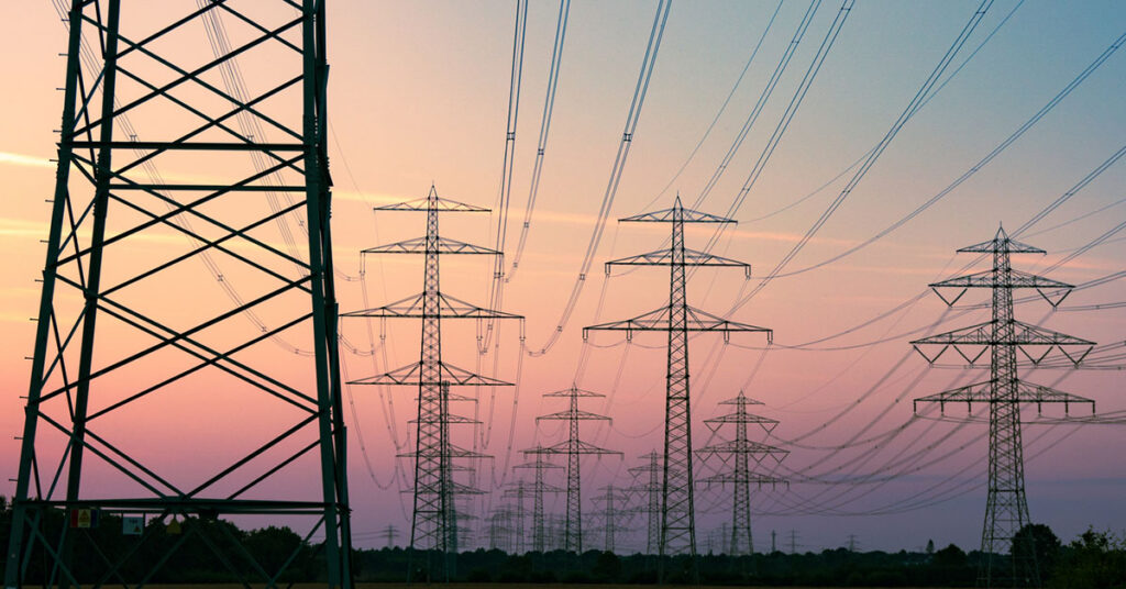
A virtual EOC Ready to Respond to Your Utility’s Emergencies
Use GIS mapping to visualize incidents and critical tasks happening out in the field and share curated views of closures and impacted areas with stakeholders and the public
Instantly alert teams with notifications to developments, task assignments, and work orders
Facilitate communication with stakeholders and your entire organization
End-to-end exercise management with the ability to run virtual tabletop drills using your digitized emergency plan
Launch and control plans according to a timeline while tracking the assignment and completion of tasks
Build & manage EOP, IAP, AAR, and hazard specific ERPs


Explore Utilities Solutions
Build resilience and minimize disruption with a comprehensive Business Continuity solution.

Build digital, field-ready incident resolution and reimbursement forms so each crew has the tools they need to guarantee fast processes
Given how intertwined incident response and daily operations are, it pays to have them on the same platform
Keep all stakeholders on the same page with a tool that effortlessly connects local and dispersed teams.

Let planners engage and work with all Emergency Operations Plan stakeholder,regardless of location.
Ensure complete emergency readiness, responsiveness and recovery for your organization.
Maintain a shared collaborative space and common operating picture with dashboards and automated reporting across all levels of your organization, including outside agencies.
Easily pass useful security intelligence from shift to shift within your utility’s security operations center.
From building the roster to demobilization, take the headaches out of mutual aid so you can ensure the return of services to your customers.
Keep Pace with the Your Utility’s Security Threats