GIS Mapping
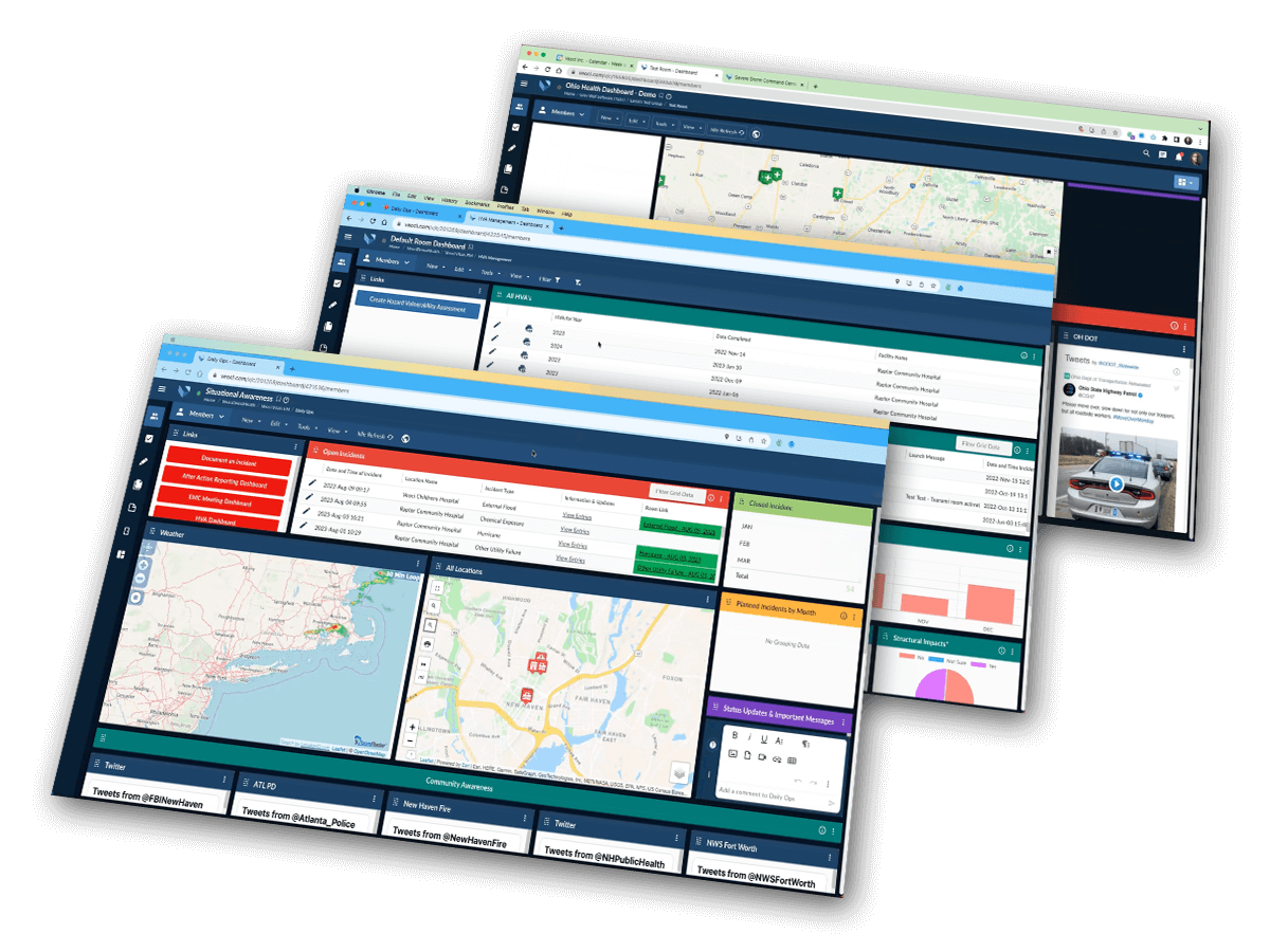
GIS mapping allows you to visualize data in a geographical context, displaying locations and optimal routes for hazard avoidance, while ultimately leading to more effective resource utilization. It assists in improving communication and collaboration among teams during events by providing a clear visual representation of data, allowing for a better understanding and alignment on strategies.

Flexibility That Exceeds Expectations
Quicker geofencing and visual analysis
- Move all incoming data from Forms and Workflows into a map view to get geo-spatial overview of an operation.
- Draw and configure shapes directly on maps to disseminate information or quickly capture data points in that area.

Make situational awareness instantaneous
- Capture the present situation displaying relevant location data, such as street closures, in a map saved view
- Maps reflect on-the-fly changes and update immediately to keep awareness of the situation accurate among stakeholders

Esri and ArcGIS integrations
- Use Esri maps and ArcGIS applications data directly within the Veoci interface
- Port over your existing ArcGIS application data into your Veoci solutions to create a complete picture of operations

Track assets in the field
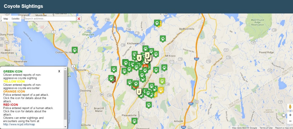
- Assign icons to object categories and display the location of assets on a map within Veoci
- Click into icons on the map to get current reports on asset status, including condition, exact location and more

Request A Demo
Find a Solution for Your Industry
No-code solutions that simplify processes, improve communication, and streamline everyday operations.


